
No products in the cart.


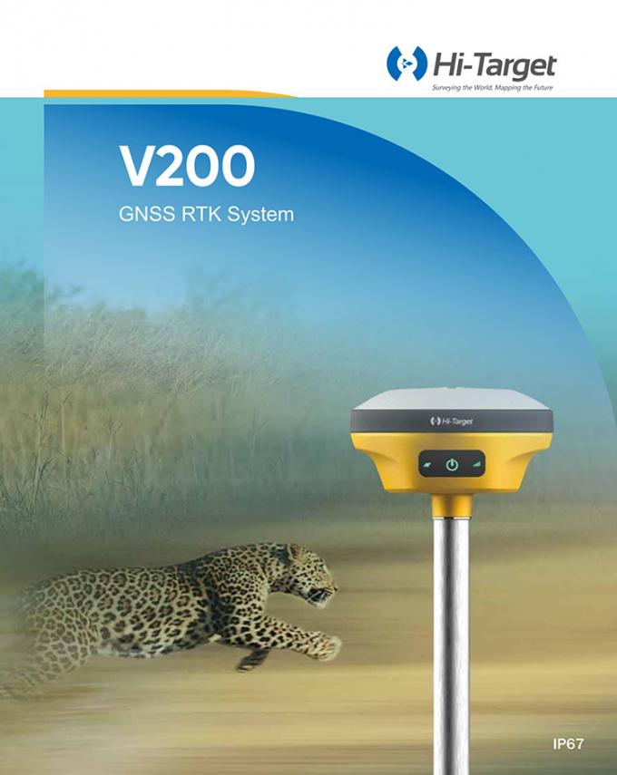
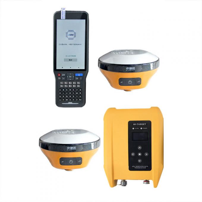
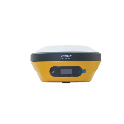
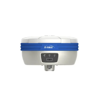
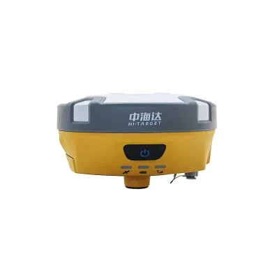
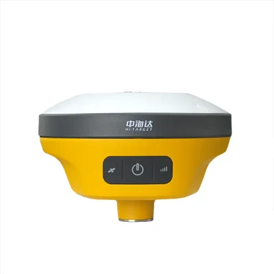
IP68 Magnesium Alloy Material Hi-Target V200 GPS RTK GNSS With Linux Operating System
In Stock
$2,100
In Stock
Description
Detail Information
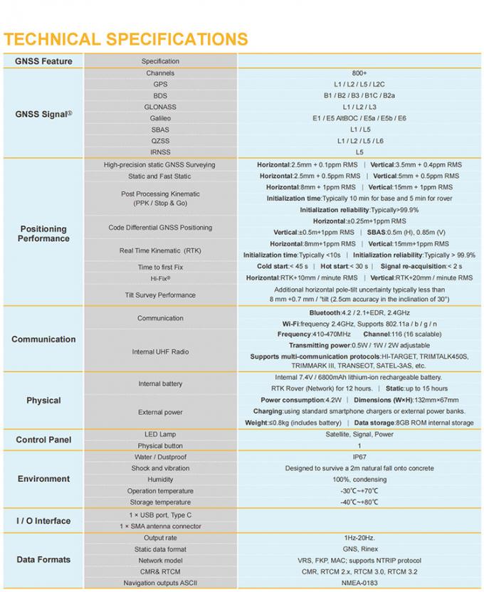
| Channels: | 800 Channels | BDS:: | B1, B2, B3 |
|---|---|---|---|
| GPS:: | L1, L2, L5 | GLONASS:: | L1, L2 |
| Output Format: | ASCII: NMEA-0183, Binary Code | Positioning Output Frequency: | 1Hz~20Hz |
| Static Data Format: | GNS, Rinex Dual Format Static Data | Difference Format: | CMR, RTCM2.X, RTCM3.0, RTCM3.2 |
| Network Mode: | VRS, FKP, MAC; Support NTRIP Protocol | Operating System: | Linux Operating System |
| Start Time: | 3 Seconds | Data Storage: | Built-in 8GB ROM, Supports Automatic Storage Of Static Data |
| RTK Positioning Accuracy Plane:: | ±(8+1×10⁻⁶D) Mm (D Is The Distance Between The Measured Points) | RTK Positioning Accuracy Elevation:: | ±(15+1×10⁻⁶D) Mm (D Is The Distance Between The Measured Points) |
| Highlight: | Magnesium Alloy GPS GNSS Receiver
, Linux Operating System GNSS Receiver , V200 Multi Gnss Receiver |
||
Product Description
Product Description
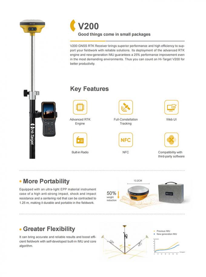
IP68 magnesium alloy material Hi-Target V200 GPS RTK GNSS with Linux operating system .


Specification
| RTK V200 technical parameters | |||
| GNSS configuration | Number of channels: 800+ | ||
| BDS: B1, B2, B3 | |||
| GPS: L1, L2, L5 | |||
| GLONASS: L1, L2 | |||
| GALILIEO: E1, E5a, E5b | |||
| SBAS: Support | |||
| QZSS: Support | |||
| Output format | ASCII: NMEA-0183, binary code | ||
| Positioning output frequency | 1Hz~20Hz | ||
| Static data format | GNS, Rinex dual format static data | ||
| Difference format | CMR, RTCM2.X, RTCM3.0, RTCM3.2 | ||
| Network mode | VRS, FKP, MAC; support NTRIP protocol | ||
| System Configuration | operating system | Linux operating system | |
| Start Time | 3 seconds | ||
| data storage | Built-in 8GB ROM, supports automatic storage of static data | ||
| Accuracy and reliability [1] | RTK positioning accuracy | Plane: ±(8+1×10⁻⁶D) mm (D is the distance between the measured points) | |
| Elevation: ±(15+1×10⁻⁶D) mm (D is the distance between the measured points) | |||
| Static positioning accuracy | Plane: ±(2.5+0.5×10⁻⁶D) mm (D is the distance between the measured points) | ||
| Elevation: ±(5+0.5×10⁻⁶D) mm (D is the distance between the measured points) | |||
| DGPS positioning accuracy | Plane accuracy: ±0.25m+1ppm; elevation accuracy: ±0.50m+1ppm | ||
| SBAS positioning accuracy | 0.5m | ||
| Initialization time | <10 seconds | ||
| Initialization reliability | >99.99% | ||
| Communication unit | I/O port | USB Type-C interface, SMA interface | |
| Built-in 4G network communication | Built-in eSIM4 card, including 3 years Internet access fee, you can connect to the Internet after power on | ||
| WiFi communication | 802.11 a/b/g/n access point and client mode, can provide WiFi hotspot service | ||
| blue tooth communication | blue tooth® 4.2/2.1+EDR, 2.4GHz | ||
| Built-in radio | Built-in transceiver station: | ||
| Power: 0.5W/1W/2W adjustable | |||
| Frequency band: 410MHz~470MHz | |||
| Protocol: HI-TARGET, TRIMTALK450S, TRIMMARKⅢ, TRANSEOT, SOUTH, CHC | |||
| Number of channels: 116 (16 of which can be configured) | |||
| sensor | Electronic bubble | Realize smart alignment | |
| Tilt measurement | Built-in high-precision inertial navigation, automatic attitude compensation, 8mm+0.7mm/°tilt (accuracy within 30°<2.5cm) | ||
| User Interface | button | A power button | |
| LED indicator light | Satellite lights, signal lights, power lights | ||
| WEB UI | Built-in WEB page to realize receiver setting and status check | ||
| Function application | Advanced Features | OTG function, NFC IGRS, WebUI interaction, U disk firmware upgrade | |
| Smart application | Smart base station, smart voice, function self-check, smart CORS | ||
| Remote Service | News push, online upgrade, remote control | ||
| cloud service | Equipment management, location services, collaborative operations, data analysis | ||
| Physical characteristics | Host battery | Built-in high-capacity lithium battery 6800mAh/7.4V, network mobile station working time is more than 10 hours[2] | |
| External power supply | Support USB port charging and external power supply | ||
| size | Φ132mmx67mm | ||
| weight | ≤0.82kg | ||
| Power consumption | 4.2W | ||
| material | The shell is made of magnesium alloy material | ||
| Environmental characteristics | Dustproof and waterproof | IP68 | |
| Anti-fall | Resistance to natural drop of 2m high measuring rod | ||
| Relative humidity | 100% non-condensing | ||
| Operating temperature | -30℃~+70℃ | ||
| storage temperature | -40℃~+80℃ | ||
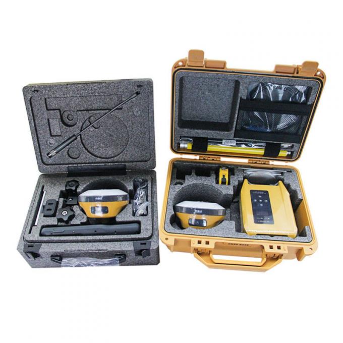
Packaging & Shipping

Our Services
1. Warranty: 12 months warranty is offered for survey equipment. 6 months warranty offered for survey accessory. Warranty comes in effective from the day your receive good.
2. Repair in warranty: We are responsible for supplying new parts for repairing. Round way freight will be charged by us. If it is necessary, product will be required to send back to our service center to be repaired, round way freight is charged by us. Our engineer will repair in your office for special case.
3. Repair out of warranty: We will offer related parts at commercial cost. Freight will be shared by us
4. Training and calibration: Our engineer is qualified for training and calibration for GNSS and Total Station on site. We offer this service to bulk order while customer has requirement.
5. Technical support is offered 24/365.


Reviews
There are no reviews yet.