


Subtotal: $6,380
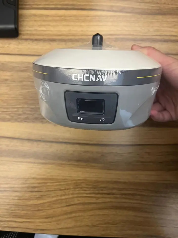
Integrated Professional Chc B5 Rtk Gnss Receiver With High Accuracy
In Stock
$1,250
In Stock
Description
Detail Information
| BeiDou: | B1l, B2l, B3l, B1C, B2a, B2b | QZSS: | L1, L2, L5, L6 |
|---|---|---|---|
| Channels: | 1408 Channels | Model: | B5 |
| SBAS: | L1, L5 | L1, L5: | B2b-PPP |
| Highlight: | integrated professional rtk gnss receiver
, chc b5 rtk gnss receiver , high accuracy rtk gps receiver |
||
Product Description
Detailed Product Description
Specification
|
Model
|
V90 plus
|
|
|
System Configuration
|
Data storage
|
8GB Internal storage (Support up to 32GB external SD card)
|
|
Record GNS and RINEX format simultaneously
|
||
|
Data Formats
|
1Hz positioning output, up to 50Hz
|
|
|
CMR: CMR, CMR+, sCMRx input and output
|
||
|
RTCM: RTCM 2.1, 2.2,2.3, 3.0, 3.1, 3.2 input and output
|
||
|
Navigation outputs ASCII: NMEA-0183 GSV, AVR, RMC, HDT, VGK, VHD, ROT, GGK, GGA, GSA, ZDA, VTG, GST, PJT, PJK, BPQ, GLL, GRS, GBS
|
||
|
Navigation outputs binary: GSOF
|
||
|
Satellite Signals Tracked Simultaneously
|
Channels
|
220
|
|
BDS
|
B1,B2
|
|
|
GPS
|
Simultaneous L1C/A, L2C, L2E, L5
|
|
|
GLONASS
|
Simultaneous L1C/A, L1P, L2C/A (GLONASS M only), L2P
|
|
|
SBAS
|
Simultaneous L1 C/A, L5
|
|
|
GALILEO
|
Simultaneous L1 BOC, E5A, E5B, E5AltBOC
|
|
|
Static and Fast Static GNSS Surveying
|
Horizontal
|
2.5mm+0.5ppm RMS
|
|
Vertical
|
5mm+0.5ppm RMS
|
|
|
Post Processing Kinematic (PPK / Stop & Go) GNSS Surveying
|
Horizontal
|
1cm+1ppm RMS
|
|
Vertical
|
2.5cm+1ppm RMS
|
|
|
Initialization time
|
Typically 10 minutes for base while 5minutes for rover
|
|
|
Initialization reliability
|
Typically > 99.9%
|
|
|
Network RTK
|
Horizontal
|
8mm+1ppm RMS
|
|
Vertical
|
15mm+0.5ppm RMS
|
|
|
Initialization time
|
Typically < 8seconds
|
|
|
Initialization reliability
|
Typically > 99.9%
|
|
|
Code Differential GNSS Positioning
|
Horizontal
|
25cm+1ppm RMS
|
|
Vertical
|
50cm+1ppm RMS
|
|
|
SBAS
|
0.50m Horizontal, 0.85m Vertical
|
|
|
Power and Battery
|
Power
|
6V to 28V DC external power input,Power consumption ≤3.5W
|
|
Internal battery
|
Rechargeable, removable 7.4V, 5000mAh Lithium-ion battery
|
|
|
Internal battery life
|
Static 12hours
|
|
|
RTK rover (UHF/GPRS/3G) 10 hours
|
||
|
RTK base more than 8 hours
|
||
|
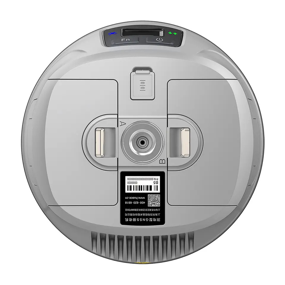
I/O Interface
|
1 xBluetooth, NFC ,1 x standard USB2.0 port ,1 x TNC antenna connector,1 x RS232 serial port ,1 x DC power input (5-pin) ,1 x
MicroSD card port |
|
|
Physical
|
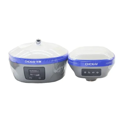
Dimensions (W x H)
|
153mm x 83mm (6.02inch x 3.27inch)
|
|
Weight(without internal battery)
|
950g (2.09lb)
|
|
|
Operating temperature
|
-40ºC to +65ºC (-40ºF to +149ºF)
|
|
|
Storage temperature
|
-55ºC to +85ºC (-67ºF to +185ºF)
|
|
|
Humidity
|
100%, considering
|
|
|
Water/dustproof
|
IP67 dustproof, protected from temporary immersion to depth of 1m (3.28ft).
|
|
|
Shock and vibration
|
Designed to survive a 3m(9.84ft) natural fall onto concrete.
|
|
![]()
![]()
![]()
![]()


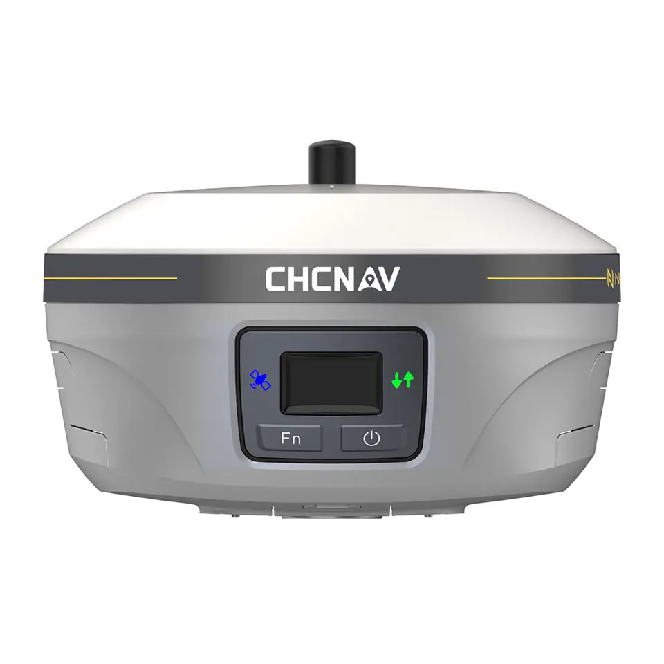
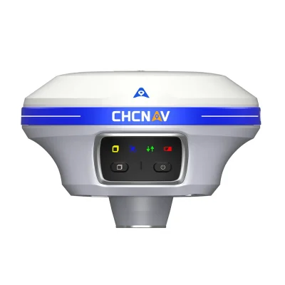
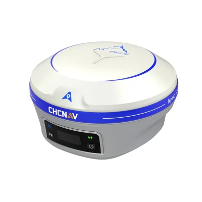
KEY FEATURES
With a hi-tech, fully integrated design, the conveniently sized V90 Plus
is one of the most flexible choices for any measuring task. Built-in
Linux3.2.0 operating system, pre-loaded multiple smart applications
such as tilt surveying, electronic bubble calibration, NFC and voice
DIY. The V90 Plus GNSS system provides surveyor industry-leading
GNSS operation.
Multi-constellation Tracking
220 tracking channels
NGS approved full-wave GNSS antenna
Supports GPS, GLONASS, GALILEO, BDS, SBAS
Supports a wide range of satellite signals
A large receiving area designed for multipath mitigation
Air dielectric is light and stable
Smart Application
Offers tilt survey with a maximum tilt angle of 30 degrees
Supports electronic bubble
Intelligent voice assistance guides field operations. Voice can be DIY
Standard Rinex data and HI-TARGET raw data recorded simultaneously
Optional Transceiver UHF Radio
The transceiver UHF radio enables switchable working modes between base and rover
Three types of internal UHF radio provide different frequencies based on users requirements.
The SATEL internal UHF radio is compatible with other radios
Multi-network Connection
Supports GPRS, GSM and WCDMA
Supports WIFI
Powerful Battery
Powered by high-capacity (5000mAh)
Li-ion battery to ensure full day operation
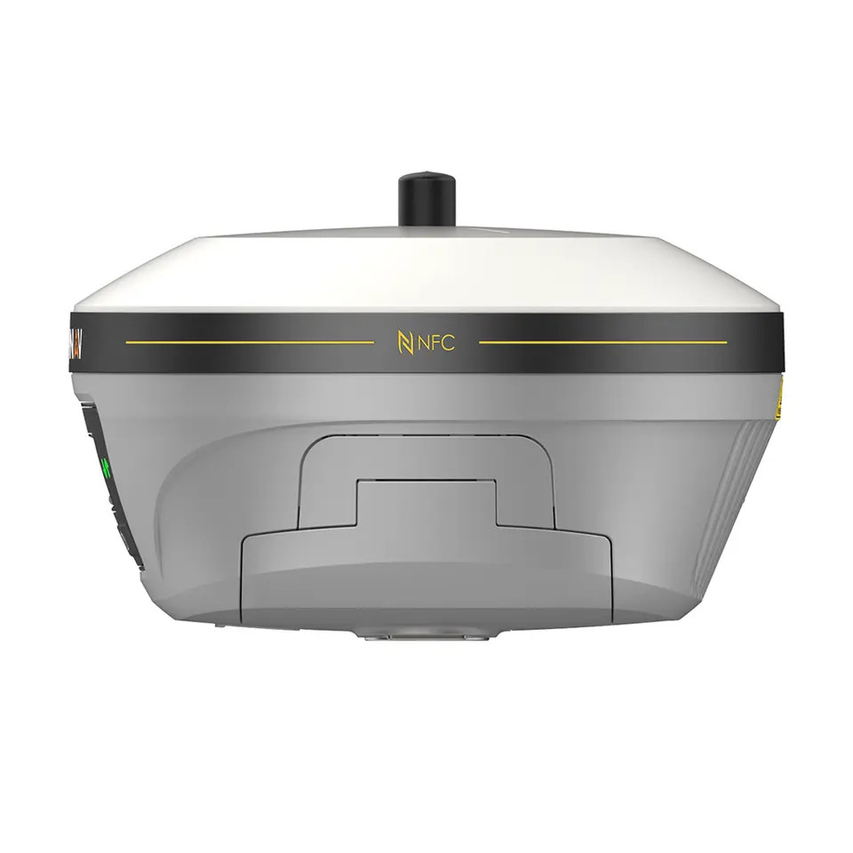
Rugged Design
IP67 dustproof and waterproof
Able to survive a 2-meter natural fall onto concrete
iHand30
The iHand30 is a rugged field controller that is designed for data collection and GNSS device control. Based on the Android operating system, it is compatible with Hi-Target professional software and third-party Android software. Combining the physical keyboard with a touchscreen, it can boost efficient field work and provide express solutions for users.
We can use the different international express company, usually, our first choice is DHL. if you have specified requirement , pls inform us before the order.
Our Services
your inquiry will be replied within 24 hours, we welcome your email and call at any time.
our products are original and 100% new. and they will be carefully checked before we ship them out.
we provide one year quality warranty, within one year since you bought the products from us, you will get our technology support.


Reviews
There are no reviews yet.