


Subtotal: $52,960.00

| Display Resolution,WxH: | 128 X 160 Pixels | Display Type: | Transflective, Monochrome |
|---|---|---|---|
| Battery: | 2 AA Batteries (not Included); NiMH Or Lithium Recommended | Battery Life: | 25 Hours |
| Water Rating: | IPX7 | High-sensitivity Receiver: | Yes |
| Interface: | USB | Waypoints/favorites/locations: | 1000 |
| Routes: | 50 | Geocaching-friendly: | Yes (Paperless) |
| Area Calculation: | Yes | Hunt/fish Calendar: | Yes |
| Sun And Moon Information: | Yes | ||
| Highlight: | Waterproof GPS GNSS Receiver
, Etrex 221x Land Surveying Instruments , Handheld Land Surveying Instruments |
||
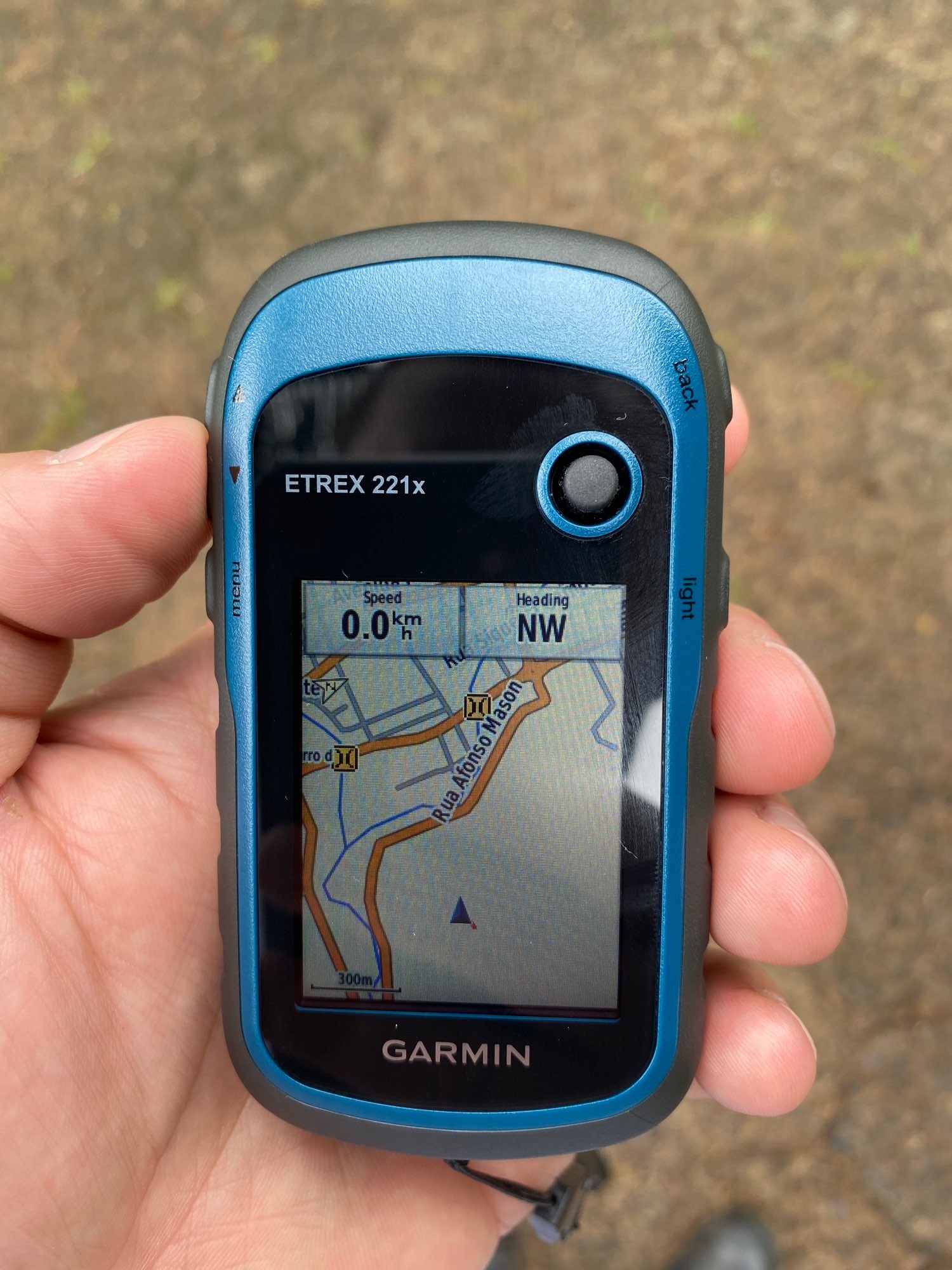
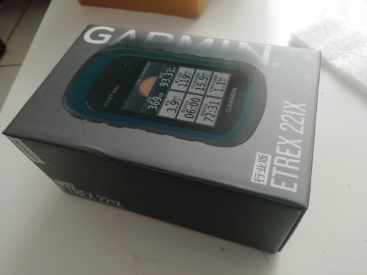
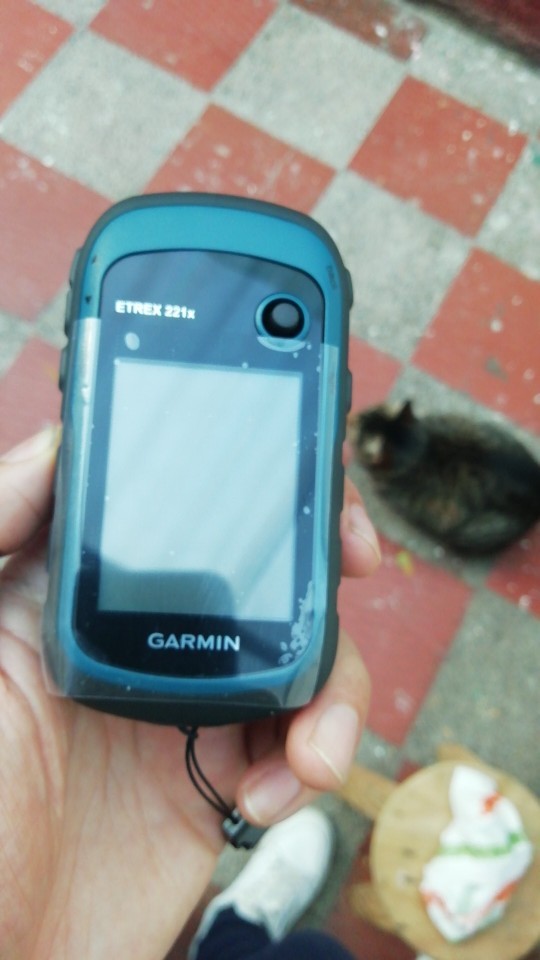
Surveying instrument Garmin Etrex 221x Handheld GPS GNSS receiver with Waterproof funcation
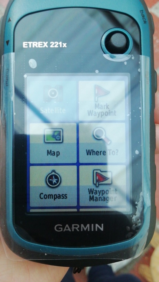
The handheld dual-satellite measurement positioning navigator has high-sensitivity new-generation dual-satellite (GPS+GLONASS) rapid positioning capabilities. eTrex 221x uses an anti-glare color screen, which is still clearly visible under strong light, which is suitable for field measurement and positioning operations. The five-way rocker-type button operation design makes the operation more flexible and free. A variety of coordinate systems and format conversion, professional area measurement function, light weight and power saving, sturdy three-proof design, the most advanced one-handed control humanity design.


Double star positioning
It can receive GPS and GLONASS two satellite systems at the same time, which can enhance the possibility of receiving signals and speed up positioning in places with many obscurations.
Title goes here.
Semi-Automatic PET Bottle Blowing Machine Bottle Making Machine Bottle Moulding Machine PET Bottle Making Machine is suitable for
producing PET plastic containers and bottles in all shapes.
Area measurement
With professional area measurement function (track, route, constant width measurement mode)
Large storage capacity
In addition to recording 2,000 waypoints and 10,000 track records, the track records can also be wirelessly expanded according to the size of the memory or memory card space, allowing you to record happily without worrying about lack of space every day.
Energy saving and low power consumption
Up to 22 hours of continuous operation time
Enrich itinerary data
More than 40 travel information, positioning, navigation and measurement can be done at one time.
|
Specs
|
eTrex 221x
|
eTrex 229x
|
eTrex 329x
|
|
Dimension
|
2.1″ x 4.0″ x 1.3″ (5.4 x 10.3 x 3.3 cm)
|
||
|
Display size
|
2.2″ (5.6 cm)
|
||
|
Display Resolution
|
240 x 320 pixels
|
||
|
Display type
|
2.2″ transflective, 65K color TFT
|
||
|
Weight
|
141.7 g with batteries
|
||
|
Waterproof
|
IPX7
|
||
|
Battery type
|
2 AA batteries
|
||
|
Battery life
|
25 hours
|
||
|
Interface
|
mini USB
|
||
|
Memory
|
8 GB
|
||
|
Be able to float
|
NO
|
||
|
Highly sensitive receiver
|
YES
|
||
|
Satellite
|
GPS+GLONASS
|
GPS+BDS
|
GPS+BDS
|
|
Date Rocords
|
|||
|
Waypoints/Favories/Locations
|
2000
|
||
|
Route (strip × point)
|
200×250
|
||
|
Track record (point)
|
9999
|
||
|
Save track (strip × point)
|
200×10000
|
||
|
Map
|
|||
|
Pre-load detailed maps
|
NO
|
NO
|
YES
|
|
Support for navigation maps
|
YES
|
YES
|
YES
|
|
Support for contour maps
|
YES
|
YES
|
YES
|
|
Support DEM elevation map
|
YES
|
YES
|
YES
|
|
Support homemade picture map
|
YES
|
YES
|
YES
|
|
Function
|
|||
|
Electronic compass
|
NO
|
NO
|
YES
|
|
Barometric altimeter
|
NO
|
NO
|
YES
|
|
Track survey area
|
YES
|
YES
|
YES
|
|
Route survey area
|
YES
|
YES
|
YES
|
|
Average of position
|
YES
|
YES
|
YES
|
|
Wireless data transmission
|
NO
|
NO
|
YES
|
|
The buzzer sounds
|
YES
|
YES
|
YES
|
|
A camera
|
NO
|
NO
|
NO
|
|
Image browser
|
YES
|
YES
|
YES
|
|
Image navigation
|
YES
|
YES
|
YES
|
|
Moon and astronomical
|
YES
|
YES
|
YES
|
|
Support for custom points of interest
|
YES
|
YES
|
YES
|
|
Compatible tide table
|
YES
|
YES
|
YES
|

1. Warranty: 12 months warranty is offered for survey equipment. 6 months warranty offered for survey accessory. Warranty comes in effective from the day your receive good.
2. Repair in warranty: We are responsible for supplying new parts for repairing. Round way freight will be charged by us. If it is necessary, product will be required to send back to our service center to be repaired, round way freight is charged by us. Our engineer will repair in your office for special case.
3. Repair out of warranty: We will offer related parts at commercial cost. Freight will be shared by us
4. Training and calibration: Our engineer is qualified for training and calibration for GNSS and Total Station on site. We offer this service to bulk order while customer has requirement.
5. Technical support is offered 24/365.


Reviews
There are no reviews yet.